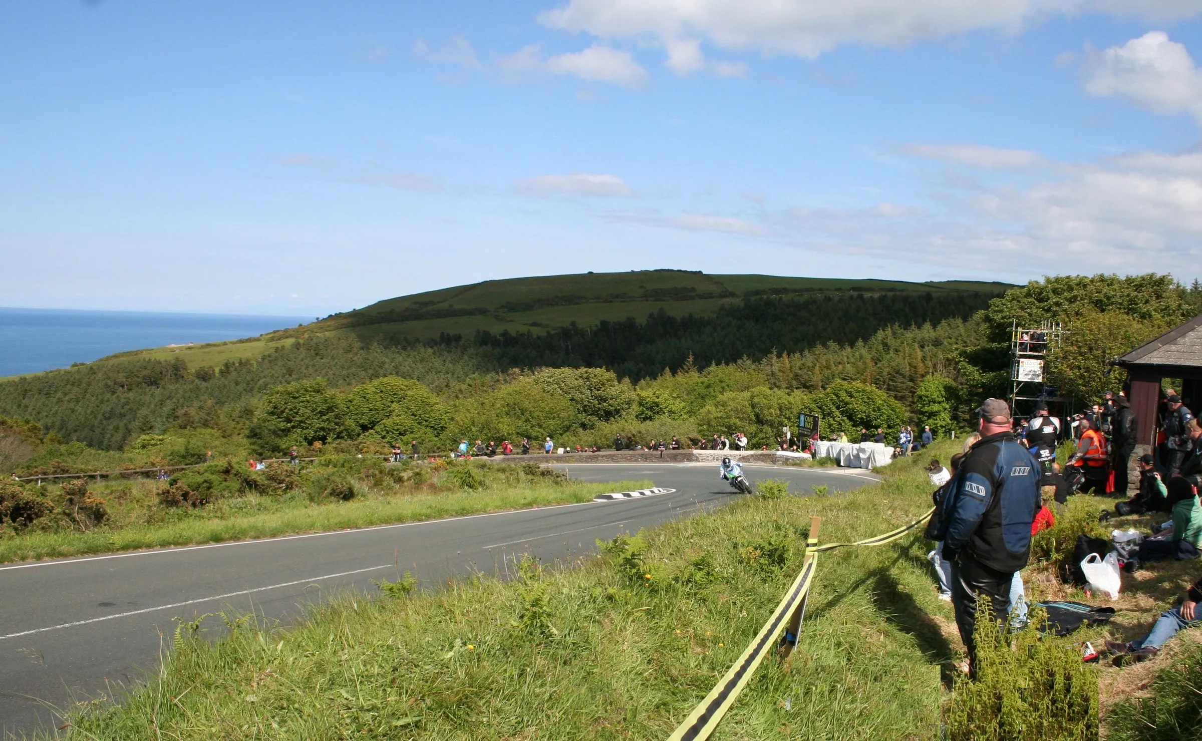
Photo: Jawdroppin / Wikimedia Commons, CC BY 3.0
The TT course map — the Snaefell Mountain Course, section by section
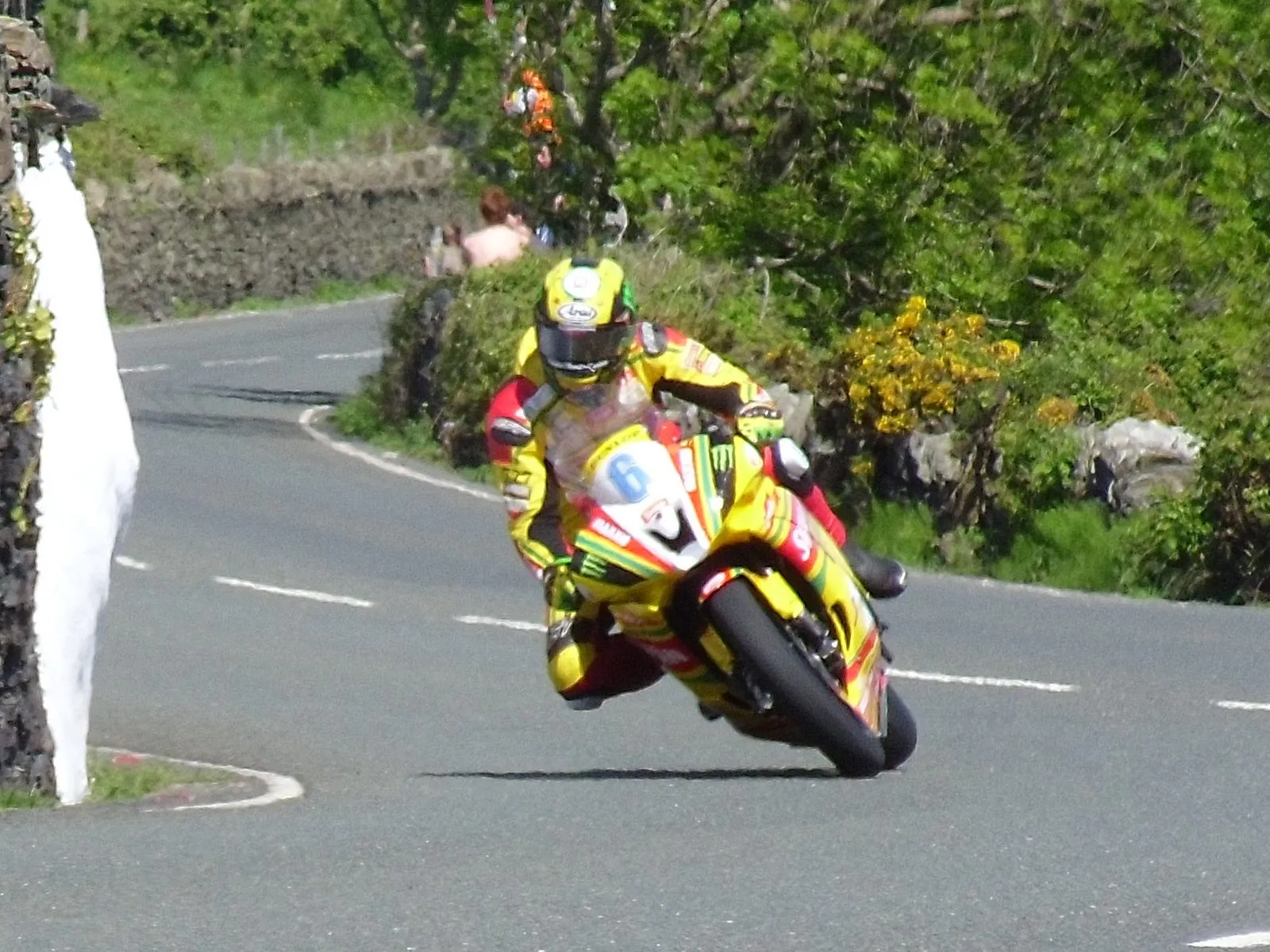
Photo: Jawdroppin / Wikimedia Commons, CC BY 3.0
Last checked
A map of the Isle of Man TT course with the key corners and their mileages, and what each section of the 37.73-mile Snaefell Mountain Course is like.
On the map
- TT Grandstand (start and finish) — Mile 0. Glencrutchery Road, Douglas
- St Ninian's crossroads — Mile 0.3. Fast left jink into Bray Hill
- Bray Hill — Mile 0.6. Steep drop through a residential street
- Quarterbridge — Mile 1.3. First hard right, at the roundabout
- Braddan Bridge — Mile 1.7. Slow S-bend by the old church
- Union Mills — Mile 2.7. Village, bridge and the Railway Inn
- Ballagarey — Mile 3.8. Very fast right-hander
- Crosby crossroads — Mile 4.8. Through the village at full speed
- Greeba Bridge — About mile 6.5. Tree-lined, fast and bumpy
- Ballacraine — Mile 7.7. Slow right turn onto the A3
- Glen Helen — About mile 9. Wooded glen section, then the climb to Sarah's Cottage
- Cronk-y-Voddy — Mile 10.8. Long fast straight across farmland
- Barregarrow — Mile 12.8. Downhill left where bikes bottom out
- Kirk Michael — About mile 14. Flat out through the village
- Ballaugh Bridge — Mile 17.2. Humpback bridge where bikes take off
- Sulby crossroads — Mile 19.2. Start of the Sulby Straight
- Sulby Bridge — Mile 20.1. Hard braking after the fastest straight
- Ginger Hall — Mile 20.3. Left-hander by the pub
- Parliament Square, Ramsey — About mile 24. Tight right in the town centre
- Ramsey Hairpin — Mile 24.5. Start of the Mountain climb
- Gooseneck — Mile 26. Tight right hairpin above Ramsey Bay
- Guthrie's Memorial — About mile 26.5. S-bend by the 1939 memorial
- Verandah — Mile 29.8. Four fast bends along the side of Snaefell
- The Bungalow — Mile 30.9. Tram crossing and Joey Dunlop statue
- Hailwood's Height and Brandywell — Mile 31.6. Highest point of the course, 1,385ft
- Windy Corner — Mile 32.5. Exposed right-hander, often windy as the name says
- Keppel Gate — Mile 33.8. Top of the descent to Douglas
- Kate's Cottage — About mile 34. Fast downhill run with a view of the bay
- Creg-ny-Baa — Mile 34.5. Right-hander at the pub
- Hillberry — Mile 36. Very fast right, one of the quickest corners
- Signpost Corner — Mile 36.7. Hard right into the last mile
- Governor's Bridge — Mile 37.3. Hairpin and dip, closed to normal traffic
The Snaefell Mountain Course is 37.73 miles of ordinary Manx roads that turn into a racetrack for a few hours at a time. This page explains how it fits together: which roads it uses, what each section is like, and where the corners you’ve heard of actually are. Every pin on the map above is on the course; for the rest of the island, see the Isle of Man map. For the best places to stand, see where to watch the TT. To ride or drive it yourself, see riding the TT course.
The shape of a lap
The course runs clockwise, with the start and finish at the Grandstand on Glencrutchery Road in Douglas. It uses four main roads (Wikipedia (opens in a new tab), checked September 2026):
- The A2 through Douglas, from the Grandstand down Bray Hill to Quarterbridge.
- The A1 Douglas to Peel road from Braddan Bridge, through Union Mills, Glen Vine, Crosby and Greeba, to Ballacraine.
- The A3 Castletown to Ramsey road, turning right at Ballacraine and heading north through the glens, Kirk Michael, Ballaugh and Sulby to Ramsey.
- The A18 Mountain Road from Ramsey, climbing past Snaefell to the Bungalow and Brandywell, then down past Creg-ny-Baa into Douglas.
Roughly the first two-thirds is towns, villages and hedged lanes, and the last third is open moorland. That’s why riders talk about the Mountain as a separate thing. The weather up there can be different from the coast, and the racing is often delayed for mist on the Mountain while it’s sunny at the Grandstand.
The mile markers beside the road count from the start line, and plenty of corners take their names from them. The 26th Milestone was renamed Joey’s in 2003, after Joey Dunlop, and the 32nd became Duke’s, after Geoff Duke. Others are named after crashes (Brandish, Doran’s Bend, Handley’s) or landmarks (Creg-ny-Baa, Keppel Gate, the Bungalow). In 2025 a left-hander at the 27th mile was named MD’s, after Michael Dunlop passed his uncle Joey’s 26 wins (gef.im (opens in a new tab)).
The key points and their mileages
Mileages are from the start line, rounded to one decimal place. They come from Wikipedia’s list of named corners (opens in a new tab), which uses the roadside milestones. Treat them as a guide. Nobody agrees on the exact distance to the yard.
| Point | Mile | What it’s like |
|---|---|---|
| Grandstand | 0 | Start, finish and pit lane |
| Bray Hill | 0.6 | Steep drop and compression, flat out |
| Quarterbridge | 1.3 | First hard braking, tight right |
| Braddan Bridge | 1.7 | Slow left-right S-bend |
| Union Mills | 2.7 | Village, bridge, bikes airborne |
| Ballagarey | 3.8 | Very fast right |
| Crosby | 4.8 | Village crossroads at speed |
| Ballacraine | 7.7 | Slow right onto the A3 |
| Glen Helen | about 9 | Wooded corners, then a climb |
| Cronk-y-Voddy | 10.8 | Fast straight over farmland |
| Barregarrow | 12.8 | Downhill left, bottoms out at the foot |
| Kirk Michael | about 14 | Flat out through the village |
| Ballaugh Bridge | 17.2 | Humpback bridge, bikes jump |
| Sulby Straight | 19.2 | Fastest straight, ends at Sulby Bridge (20.1) |
| Parliament Square | about 24 | Slow right in Ramsey |
| Ramsey Hairpin | 24.5 | Start of the climb |
| Gooseneck | 26 | Tight right hairpin |
| Guthrie’s Memorial | about 26.5 | S-bend on the climb |
| Verandah | 29.8 | Fast bends on the side of Snaefell |
| The Bungalow | 30.9 | Tram crossing and footbridge |
| Hailwood’s Height | 31.6 | Highest point, 1,385ft |
| Windy Corner | 32.5 | Exposed right-hander |
| Keppel Gate | 33.8 | Start of the descent |
| Creg-ny-Baa | 34.5 | Right-hander at the pub |
| Hillberry | 36 | Very fast right |
| Signpost Corner | 36.7 | Hard right, last mile begins |
| Governor’s Bridge | 37.3 | Hairpin and dip, then the run to the line |
Douglas: the Grandstand to Braddan
The lap starts gently, with a fast left jink at St Ninian’s crossroads. Then comes Bray Hill, a steep residential street where the bikes come over the top blind and hit the compression at the bottom flat out. The road rises again past the bottom of the hill, and machines wheelie up it. Quarterbridge is the first hard braking point, a sharp right at the roundabout. Then the course turns onto the A1 at Braddan Bridge, a slow S-bend beside the old Kirk Braddan church.
Union Mills to Ballacraine
This is the fast, bumpy, tree-lined section that scares newcomers most. Union Mills is a village with a bridge the bikes take off over. Ballagarey is one of the fastest corners on the lap, and riders take it blind. The course then runs through Glen Vine and Crosby, where the village crossroads is taken at racing speed. Past the Highlander, one of the fastest points on the course, it drops through Greeba to Ballacraine. That’s a slow right turn off the Peel road and onto the A3.
Glen Helen to Kirk Michael
After Ballacraine the road narrows into the glens: Ballig, Doran’s Bend, Laurel Bank and Glen Helen, a string of tight, wooded corners. Out of the glen it climbs past Sarah’s Cottage onto the open farmland at Cronk-y-Voddy, a long fast straight. Then it drops through the 11th Milestone and Handley’s to Barregarrow, where the bikes come downhill through a fast left and bottom out at the foot. Kirk Michael follows, flat out through a narrow village street.
Ballaugh, Sulby and Ramsey
Ballaugh Bridge is the humpback bridge in all the photos, where the bikes leave the ground. After Quarry Bends comes the Sulby Straight, the fastest bit of the course, where the speed trap sits. It ends in hard braking for Sulby Bridge and the left-hander at Ginger Hall. The road then winds east through Kerrowmoar and Glentramman to Ramsey. There, riders brake hard for the right at Parliament Square, flick left out of it, and climb past Stella Maris to the Ramsey Hairpin on the edge of town.
The Mountain climb: Ramsey to the Bungalow
From the Hairpin the A18 climbs through the Waterworks and Tower Bends to the Gooseneck, a tight right-hander with a view back over Ramsey Bay. After Joey’s and Guthrie’s Memorial it’s open mountain: the Mountain Mile, the Black Hut and the Verandah, a series of fast bends along the side of Snaefell with a long drop on the left. At the Bungalow the course crosses the Snaefell Mountain Railway tracks. There’s a footbridge here, and the Joey Dunlop statue.
The descent: Brandywell to the finish
Just past the Bungalow is Hailwood’s Height, the highest point on the lap at 1,385ft, followed by the Brandywell junction and the 32nd Milestone. Windy Corner earns its name. From Keppel Gate the road drops past Kate’s Cottage to Creg-ny-Baa, then through Brandish, the very fast Hillberry and Cronk-ny-Mona. Back in the suburbs, Signpost Corner and Bedstead lead to Governor’s Bridge. That’s a hairpin and a dip down an old section of road, then out onto Glencrutchery Road and the line.
The bits you can’t drive
Almost all of the course is public road, open in both directions for most of the year. The exceptions:
- Governor’s Dip. Since 2008 normal traffic has used a new link road from Signpost Corner to Governor’s Bridge. The racing still uses the old road and the dip, which are closed off the rest of the time.
- The Mountain Road during TT. From Ramsey Hairpin to Creg-ny-Baa it’s one-way in the racing direction for the whole fortnight. In 2026 that ran from 22 May to 9 June.
- Any time the course is closed for practice or racing. See TT road closures.
The honest bit
— The Guru
Common questions
How long is the TT course?
37.73 miles (60.72km) a lap. Races run from two laps (Sidecar) to six, so a six-lap Superbike or Senior TT covers about 226 miles.
Which way round does the TT course go?
Clockwise. From the Grandstand in Douglas it runs west to Ballacraine, north through Kirk Michael and Ballaugh to Ramsey, then south-west over the Mountain Road and back down into Douglas.
What is the highest point of the TT course?
Hailwood's Height, just before Brandywell on the A18 Mountain Road, at 1,385ft (422m) above sea level. The start line on Glencrutchery Road is at about 280ft.
How many corners are on the TT course?
Over 200, depending on how you count them, and about 60 have names. Many are named after riders, such as Joey's at the 26th Milestone, or after landmarks, like Creg-ny-Baa and Keppel Gate.