Photo: Andy Stephenson / Wikimedia Commons, CC BY-SA 2.0
Isle of Man weather — what it's really like, month by month
Photo: Andy Stephenson / Wikimedia Commons, CC BY-SA 2.0
Last checked
Isle of Man weather explained — average temperatures, rain and sunshine by month, wind, hill fog, east versus west coast, and the forecast locals actually use.
The Isle of Man’s weather is mild, damp and changeable, and it can change within the hour. This page has the climate month by month, what that means on the ground, and where to get a forecast you can trust. If you’re still choosing your dates, the best time to visit puts the weather together with opening times and TT.
Climate by month
These are the Met Office’s long-term averages for Ronaldsway (opens in a new tab) (1991–2020). The station is by the airport on the south-east coast, which is one of the driest, sunniest parts of the island. Everywhere else is a bit wetter, and the hills are a lot wetter.
| Month | High / low | Rain days (total) | Sunshine |
|---|---|---|---|
| January | 8.5°C / 4.3°C | 14 (83mm) | 55 hrs |
| February | 8.4°C / 3.9°C | 11 (66mm) | 83 hrs |
| March | 9.4°C / 4.5°C | 11 (62mm) | 127 hrs |
| April | 11.5°C / 5.8°C | 10 (55mm) | 182 hrs |
| May | 14.3°C / 8.1°C | 10 (55mm) | 235 hrs |
| June | 16.5°C / 10.6°C | 9 (62mm) | 213 hrs |
| July | 18.2°C / 12.5°C | 10 (59mm) | 204 hrs |
| August | 18.2°C / 12.7°C | 11 (67mm) | 190 hrs |
| September | 16.6°C / 11.4°C | 11 (71mm) | 146 hrs |
| October | 13.8°C / 9.2°C | 13 (103mm) | 105 hrs |
| November | 11.1°C / 6.7°C | 16 (105mm) | 64 hrs |
| December | 9.2°C / 4.9°C | 15 (95mm) | 47 hrs |
| Year | 13.0°C / 7.9°C | 142 (883mm) | 1,651 hrs |
“Rain days” are days with at least 1mm of rain.
Three things stand out:
- The range is narrow. The sea keeps winters mild and summers cool. There’s less than 10°C between the average high in January and the average high in August. Don’t pack for a heatwave, and don’t pack for the Arctic.
- Spring is sunnier than summer. May gets more sun than any other month. April and May are also the driest.
- Autumn is the wet season. October to December brings about a third of the year’s rain in three months.
What it’s actually like
Wind
This is the part the averages undersell. The island sits in the middle of the Irish Sea with nothing to block the wind from any direction. The average wind speed at Ronaldsway is about 15 knots in January and 9 in July. A breezy day on the coast is a proper blow on the tops. On the mountain it can knock you sideways.
Wind also decides which coast you want. With the wind in the west, the usual direction, Peel and the west coast take it full in the face, while Douglas and Laxey sit in the lee of the hills. In an easterly it swaps round, and the waves pile into Douglas Bay instead. When the Ronaldsway forecast warns of “coastal overtopping” around high tide, it means waves coming over the promenade wall. Stay off the prom when it says that. Our tide times guide explains when high tide is.
Hill fog
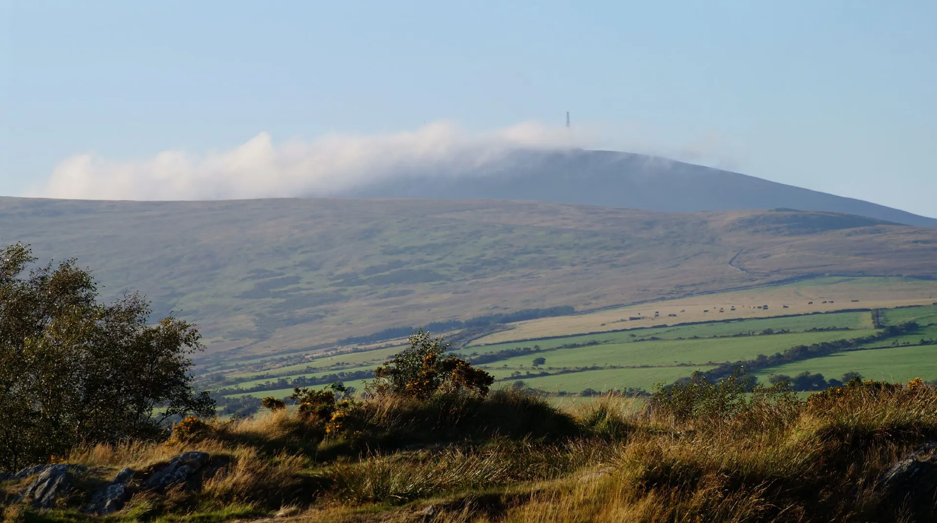
The hills run down the spine of the island, with Snaefell at 621 metres, and they catch cloud that the coast doesn’t. It’s common to have sun in Douglas while the summit is in thick fog, even in summer. Local legend says the sea god Manannan throws his cloak of mist over the island to hide it from strangers.
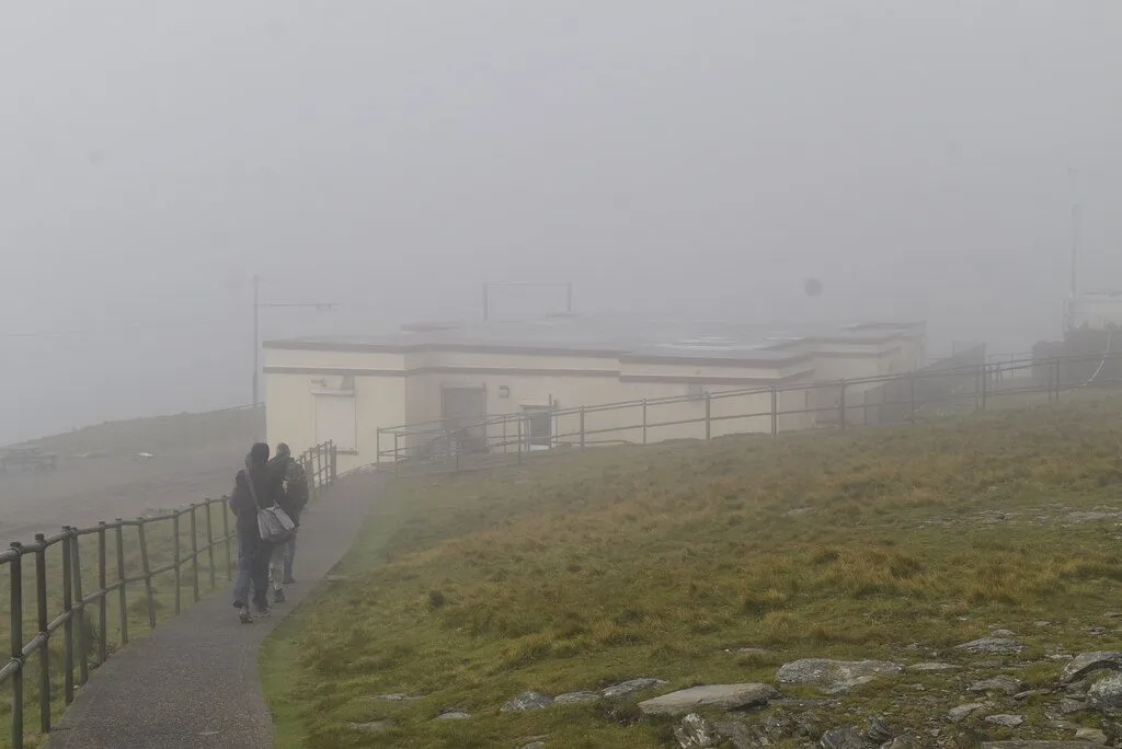
In practice, that means:
- Snaefell is only worth the fare if you can see the top from Laxey. More on this in our railways guide.
- The Mountain Road can go from clear to a few car lengths’ visibility in a mile or two. See driving on the Isle of Man.
- Rain is local. Snaefell averages around 1,900mm of rain a year, more than twice as much as Ronaldsway.
West, east, north and south
- The south (Castletown, the airport, Port St Mary) is among the driest and sunniest parts of the island. It’s fairly low-lying, and it gets the wind.
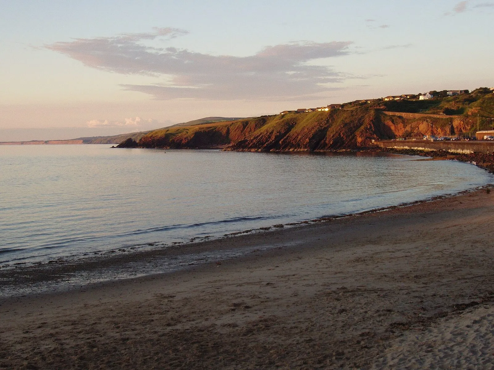
- The west (Peel, Niarbyl, Port Erin) gets the sunsets, and the weather arrives there first. On a westerly day the sea is lively and the beaches are bracing.
- The north (Ramsey, the Ayres, the Point of Ayre) is low and open. It’s often brighter than the middle of the island, and there’s nothing to stop the wind.
- The middle (the mountain, the glens, the Mountain Road) is the wettest and coolest part of the island. The glens are at their best just after rain.
Where to get the forecast
Use the Isle of Man Government’s own weather page (opens in a new tab). It’s written by forecasters at the Ronaldsway Met Office (opens in a new tab), part of the Manx government, not the UK Met Office. It’s updated several times a day and includes:
- A five-day forecast (opens in a new tab) with temperatures, wind in mph with gusts, rainfall, visibility and warnings like hill fog and coastal overtopping.
- A five-day coastal forecast (opens in a new tab) and the shipping forecast (opens in a new tab), which are useful if you’re sailing, kayaking or booked on a boat trip.
- Weather warnings for the island, shown at the top of the page when they’re in force.
- Webcams, linked from the same page, so you can see whether the hills are in cloud before you drive up.
There are phone lines too, if you want them. The recorded forecast is on 0900 624 3300, and you can speak to a forecaster on 0900 624 3200. Calls cost 50p a minute plus your phone company’s access charge (September 2026).
The UK Met Office app also has a Ronaldsway forecast (opens in a new tab), and it’s fine as a second opinion. But it’s computer-generated for one point by the airport, and it doesn’t know about hill fog.
What the weather means for your trip
Ferries and flights
Wind is what cancels ferries, and most cancellations come in autumn and winter gales. The fast craft Manannan is the most weather-sensitive of the Steam Packet’s ships, so Liverpool sailings go first. If a gale is forecast, check the sailing status before you set off. Our ferry cancellations guide covers your rights and what to do. Flights are affected less often, though low cloud and fog at Ronaldsway can cause delays and diversions.
TT and the racing
TT runs on public roads, including the Mountain section. Racing needs dry roads and clear visibility all the way round the course. A wet road or mist on the mountain delays sessions, and sometimes puts them back a day. That’s why the schedule has reserve days. If you’re coming for the racing, bring waterproofs and patience, and follow the official updates on the TT schedule page.
Walking
The coast path and the glens are fine in most weather. The hills are a different matter. Snaefell, North Barrule and the other tops get fog quickly, and the higher ground is exposed. Carry a map you can navigate with, not just a phone, and a proper waterproof in any month. If the five-day forecast mentions hill fog, stick to the coast. Our walks guide has routes for every level, and rainy day ideas cover days when you can’t walk.
What to pack
- A waterproof jacket with a hood, whatever the month.
- A warm layer, even in summer. It’s cooler than inland England.
- Shoes that can cope with wet grass and glen paths.
- Sun cream from April to September. The wind hides how much sun you’re getting.
- Something to do indoors, in case you need it. The Manx Museum is free.
The honest bit
— The Guru
Common questions
Where can I get an Isle of Man weather forecast?
The Isle of Man Government's Ronaldsway Met Office publishes a free five-day forecast, a coastal forecast and the shipping forecast at gov.im/weather. It's written by forecasters on the island, and it's the one locals use. It's also the only forecast that warns you about hill fog and waves coming over the promenades.
Does it snow on the Isle of Man?
Not often at sea level. Ronaldsway averages about 10 days of air frost a year, and lying snow on the coast is unusual. The hills get snow more often, and the Mountain Road (A18) is closed when it's icy.
Is the Isle of Man windy?
Yes. It's a small island in the middle of the Irish Sea with no shelter from any direction. Winter is the windiest season. The average wind speed at Ronaldsway in January is about 15 knots, against 9 in July, and gales cancel ferries most winters.
Is the west or the east of the Isle of Man sunnier?
It changes with the wind direction, not the coast. The hills run down the middle of the island. Whichever side the wind is blowing onto gets the cloud and drizzle, and the other side is often drier and brighter. Check the wind direction in the forecast and go to the side it's blowing away from.