Photo: Bahnfrend / Wikimedia Commons, CC BY-SA 4.0
Isle of Man map — the island explained, with every town and sight plotted
Photo: Bahnfrend / Wikimedia Commons, CC BY-SA 4.0
Last checked
An interactive Isle of Man map with every town, village and main sight plotted, plus how the island fits together, the main roads and drive times from Douglas.
On the map
- Douglas — Capital and biggest town. Ferries, most hotels, the promenade
- Douglas Sea Terminal — Where every Steam Packet ferry arrives
- Manx Museum — Free. The island's story in one building
- TT Grandstand — Start and finish of the TT course on Glencrutchery Road
- Onchan — Douglas's big neighbour to the north
- Groudle Glen — Wooded glen with a little narrow-gauge railway
- Laxey — Village, beach and harbour; the Snaefell tram starts here
- Great Laxey Wheel — The world's largest working waterwheel
- Snaefell summit — 621m. Mountain railway from Laxey
- Dhoon Glen — Steep glen down to the sea, with a waterfall. Stop on the Manx Electric
- Maughold — Old church and Norse crosses on the headland
- Ramsey — Second town. Harbour, beaches, end of the Manx Electric
- Bride — The northernmost village
- Point of Ayre — The northern tip. Lighthouse, shingle and seabirds
- Andreas — Village on the flat northern plain
- Jurby — Old airfield, motor museum and a long empty beach
- Sulby — Village at the foot of Sulby Glen, on the TT course
- Curraghs Wildlife Park — Wildlife park in the Ballaugh wetlands
- Ballaugh — Village with the TT's famous jump at Ballaugh Bridge
- Kirk Michael — West-coast village on the TT course
- Glen Helen — Wooded glen and waterfall north of St John's
- Peel — West-coast fishing town. Beach, sunsets, kippers
- Peel Castle — Castle ruins on St Patrick's Isle, joined to Peel by a causeway
- House of Manannan — Peel's museum of Celts, Vikings and the sea
- St John's and Tynwald Hill — Where the parliament meets outdoors every July
- Foxdale — Old lead-mining village in the hills
- Glen Maye — Village and glen with a waterfall down to a cove
- Niarbyl — Rocky west-coast bay with rock pools and a famous view
- Port Erin — Big sandy bay and end of the steam railway
- Cregneash — Open-air museum of a crofting village
- The Sound — The island's south-west tip. Café, seals and the Calf view
- Calf of Man — Bird observatory island. Summer boat trips only
- Port St Mary — Quieter harbour village next to Port Erin
- Colby — Village with a small glen, on the steam railway
- Castletown — The old capital, with Castle Rushen in the middle of town
- Ballasalla — Village next to Rushen Abbey and Silverdale Glen
- Isle of Man Airport — Ronaldsway. Buses to Douglas every 20 minutes at busy times
- Langness — Low peninsula with a lighthouse, rock pools and seals
The Isle of Man is small enough to cross in half an hour, and varied enough to take a week. The map above has every town, the main villages and the sights worth the drive. Each pin links to its own guide. Below, we explain how the island fits together, which roads matter, and how long it takes to get anywhere from Douglas.
The island in one paragraph
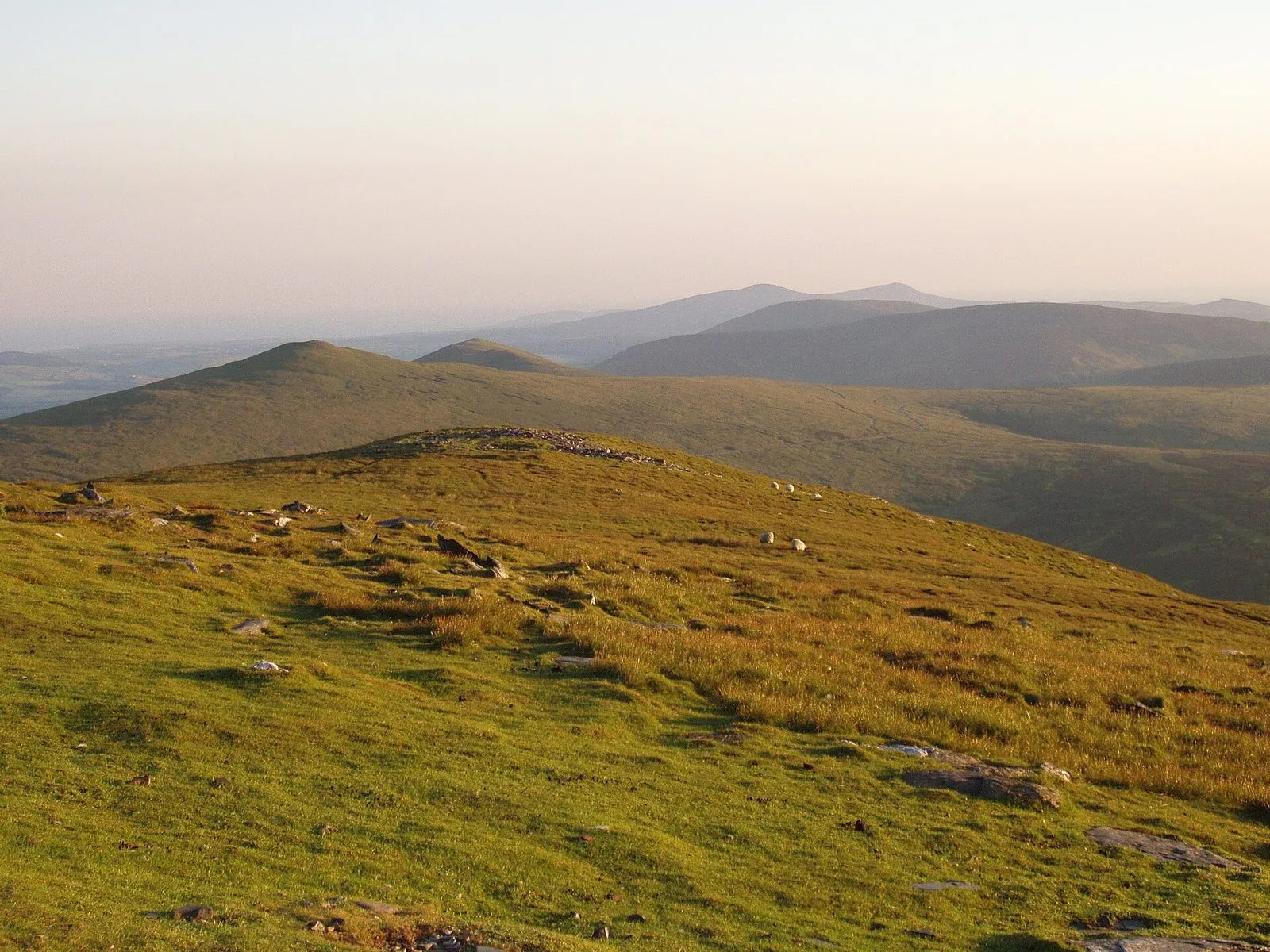
The island lies in the middle of the Irish Sea, with Scotland to the north, England to the east, Northern Ireland to the west and Wales to the south. It’s about 33 miles long and 13 wide (opens in a new tab), and it’s roughly diamond-shaped, pointing north-east to south-west. Hills run down the middle. The north is flat farmland. There’s a low gap across the middle between Douglas and Peel. The south is gentler, greener farmland, and there’s a tiny island, the Calf, off the south-west tip. Nearly a third of the island’s 84,069 people (2021 census) live in Douglas.
The regions
Douglas and the east
Douglas is the capital and by far the biggest town. It’s where the ferries dock, where most hotels are, and where the three heritage railways start. North of it, the coast road and the Manx Electric Railway run past Onchan and Groudle Glen to Laxey, home of the Great Laxey Wheel and the Snaefell tram.
The mountain
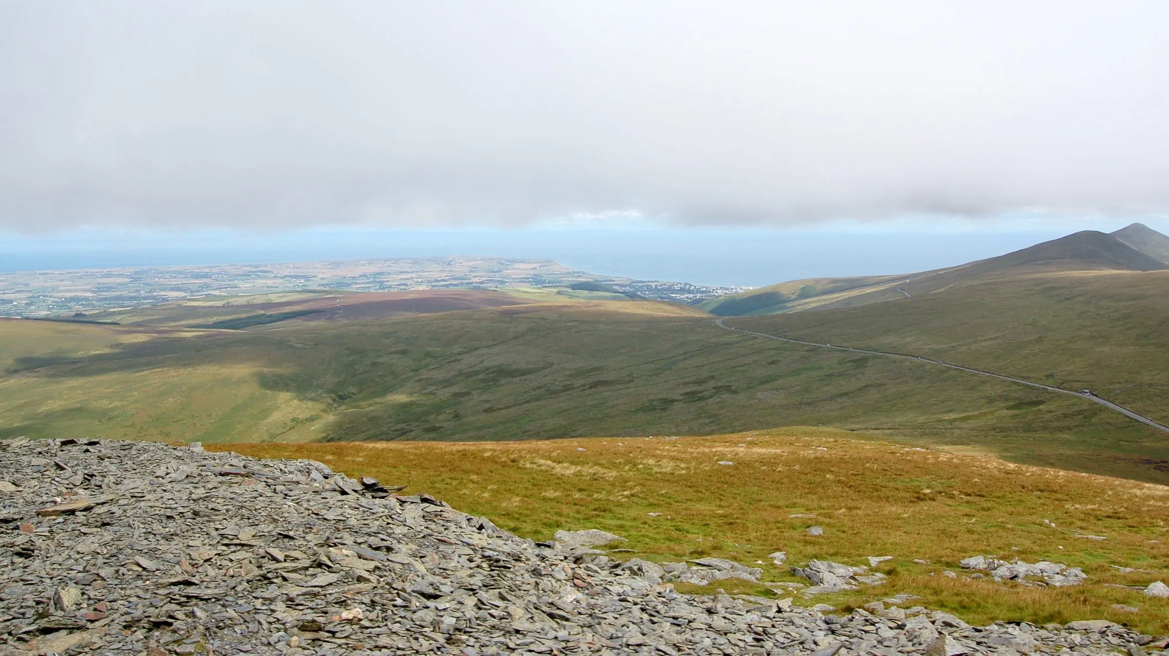
Behind Laxey is Snaefell, at 621 metres the island’s only mountain, and a line of hills either side of it. The Mountain Road (A18) crosses the high moorland from Douglas to Ramsey. It’s part of the TT course, and it’s the most famous road on the island. It’s also the one most often in cloud. See our weather guide before you drive it.
The north
Ramsey is the second town, with a harbour and two beaches. Beyond it is the island’s big surprise: a flat northern plain of farms, wetlands and the wind-blown dunes of the Ayres, ending at the lighthouse on the Point of Ayre. Andreas, Bride, Jurby, Sulby and Ballaugh are the villages up here. The villages guide covers them.
The west
Peel is the west coast’s town, with a castle on St Patrick’s Isle, a sandy beach and the best sunsets on the island. Inland are St John’s, where Tynwald meets outdoors every July, and Glen Helen. Down the coast are Glen Maye and Niarbyl, with the steep, empty hillsides of the south-west above them.
The south
The south has Castletown, the old capital, with Castle Rushen in its square. Next to it are the airport at Ronaldsway, the Langness peninsula and the village of Ballasalla. At the south-west tip are Port Erin and Port St Mary, Cregneash and the Sound, looking across to the Calf of Man. The steam railway runs down here from Douglas.
The main roads
The island has a small, simple road network. These are the roads you’ll use:
| Road | Runs | Notes |
|---|---|---|
| A1 | Douglas – St John’s – Peel | Through the central valley. The TT course from Douglas to Ballacraine |
| A2 | Douglas – Laxey – Ramsey | The east-coast road. Slower and prettier |
| A18 | Douglas – Ramsey over the mountain | The Mountain Road. One-way during TT |
| A3 | Castletown – St John’s – Kirk Michael – Ramsey | The west and north. TT course from Ballacraine to Ramsey |
| A5 | Douglas – Castletown – Port Erin | The main road south, past the airport |
The TT course uses the A1 from Douglas to Ballacraine, the A3 on to Ramsey and the A18 back over the mountain. During race weeks these roads close for practice and racing. Our TT schedule has the dates. Driving on the Isle of Man explains the national speed limit, which is unlimited on some roads, and the Mountain Road rules.
Drive times from Douglas
We measured these on OpenStreetMap routing from central Douglas in September 2026, then rounded them up. They assume normal traffic. Add time in summer, behind tractors, and a lot of time during TT.
| To | Distance | Drive |
|---|---|---|
| Laxey | 7.5 miles | 20 min |
| Isle of Man Airport | 9 miles | 20 min |
| St John’s | 9 miles | 20 min |
| Castletown | 11 miles | 25 min |
| Peel | 12 miles | 25 min |
| Port Erin / Port St Mary | 15 miles | 30 min |
| Ramsey (Mountain Road) | 15 miles | 30 min |
| Ramsey (coast road via Laxey) | 16 miles | 35 min |
| Kirk Michael | 15 miles | 30 min |
| Niarbyl | 16 miles | 30 min |
| The Sound | 18 miles | 35 min |
| Point of Ayre | 23 miles | 45 min |
By bus, allow roughly double. The bus network reaches every town and most villages, and the heritage railways cover the east coast and the south. See getting around and the island without a car.
Maps worth having
- The interactive map on this page is for planning. Every pin links to our guide for that place.
- For walking, carry a proper paper map at 1:25,000 or 1:50,000, or use an OpenStreetMap-based app, which shows the island’s footpaths and the coast path. A phone battery doesn’t last long in the cold and wind on the tops.
- Phone maps work fine for driving. Mobile signal can be patchy in the glens and up on the mountain, so download the area to use offline before you set off. Visitors with UK phones should read our roaming guide.
The honest bit
— The Guru
Common questions
How big is the Isle of Man?
About 33 miles (53km) from the Point of Ayre in the north to the southern tip, and 13 miles (22km) across at its widest, with an area of 572 km², about 221 square miles. You can drive from one end to the other in under an hour.
Where is the Isle of Man?
In the middle of the Irish Sea, roughly the same distance from England, Scotland, Northern Ireland and Wales. The nearest land is Scotland's Galloway coast, to the north. The ferry from Liverpool takes 2 hours 45 minutes on the fast craft.
How long does it take to drive around the Isle of Man?
Nowhere is much more than 45 minutes' drive from Douglas, and the Point of Ayre, the furthest point, is about 23 miles away. Driving right round the island with stops is a very full day. Summer traffic, tractors and TT road closures all slow things down.